
Pegulon topographic map
Interactive map
Click on the map to display elevation.
About this map
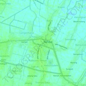
Name: Pegulon topographic map, elevation, terrain.
Location: Pegulon, Kendal, Central Java, Java, 51313, Indonesia (-6.94226 110.18177 -6.90226 110.22177)
Average elevation: 4 m
Minimum elevation: -2 m
Maximum elevation: 8 m
Other topographic maps
Click on a map to view its topography, its elevation and its terrain.
Damarsari Utara
Indonesia > Central Java > Kendal > Jenarsari
Damarsari Utara, Jenarsari, Kendal, Central Java, Java, 51356, Indonesia
Average elevation: 10 m
Tabet
Indonesia > Central Java > Kendal > Tabet
Tabet, Kendal, Central Java, Indonesia
Average elevation: 473 m
Kaliwungu
Indonesia > Central Java > Kendal > Kaliwungu
Kaliwungu, Kendal, Central Java, 51372, Indonesia
Average elevation: 25 m