
Kaliwungu topographic map
Interactive map
Click on the map to display elevation.
About this map
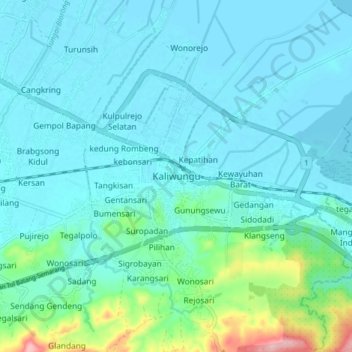
Name: Kaliwungu topographic map, elevation, terrain.
Location: Kaliwungu, Kendal, Central Java, 51372, Indonesia (-7.00133 110.21321 -6.92133 110.29321)
Average elevation: 25 m
Minimum elevation: -1 m
Maximum elevation: 169 m