
Tabet topographic map
Interactive map
Click on the map to display elevation.
About this map
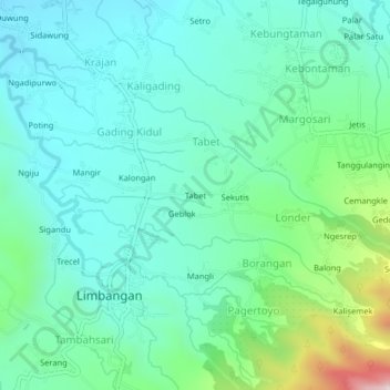
Name: Tabet topographic map, elevation, terrain.
Location: Tabet, Kendal, Central Java, Indonesia (-7.16258 110.27222 -7.12258 110.31222)
Average elevation: 473 m
Minimum elevation: 343 m
Maximum elevation: 933 m