
Oliveira topographic map
Interactive map
Click on the map to display elevation.
About this map
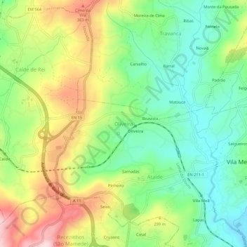
Name: Oliveira topographic map, elevation, terrain.
Location: Oliveira, Vila Meã, Amarante, Porto, 4605-378, Portugal (41.23771 -8.22154 41.27771 -8.18154)
Average elevation: 245 m
Minimum elevation: 137 m
Maximum elevation: 407 m
Other topographic maps
Click on a map to view its topography, its elevation and its terrain.