
Lapas topographic map
Interactive map
Click on the map to display elevation.
About this map
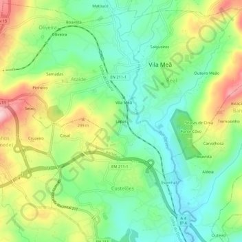
Name: Lapas topographic map, elevation, terrain.
Location: Lapas, Ataíde, Vila Meã, Amarante, Porto, 4605, Portugal (41.22216 -8.20541 41.26216 -8.16541)
Average elevation: 217 m
Minimum elevation: 127 m
Maximum elevation: 367 m