
Thank you for supporting this site ❤️
Make a donation
Make a donation
Lake Mazvikadei topographic map
Click on the map to display elevation.
Thank you for supporting this site ❤️
Make a donation
Make a donation
About this map
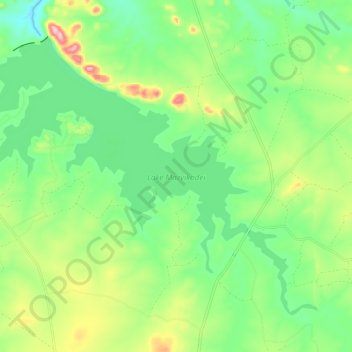
Name: Lake Mazvikadei topographic map, elevation, terrain.
Location: Lake Mazvikadei, Zvimba, Mashonaland West Province, Zimbabwe (-17.30316 30.36900 -17.21789 30.48188)
Average elevation: 1,183 m
Minimum elevation: 1,098 m
Maximum elevation: 1,351 m
Thank you for supporting this site ❤️
Make a donation
Make a donation
Other topographic maps
Click on a map to view its topography, its elevation and its terrain.