
Batam topographic map
Interactive map
Click on the map to display elevation.
About this map
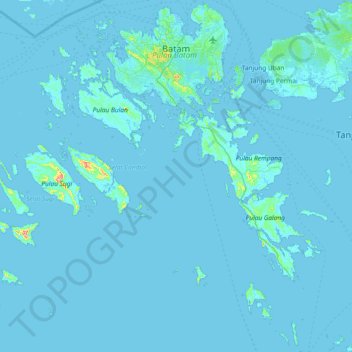
Name: Batam topographic map, elevation, terrain.
Location: Batam, Kepulauan Riau, Sumatra, Indonesia (0.46255 103.65143 1.20472 104.37075)
Average elevation: 4 m
Minimum elevation: -2 m
Maximum elevation: 265 m
Other topographic maps
Click on a map to view its topography, its elevation and its terrain.