
Mangas topographic map
Interactive map
Click on the map to display elevation.
About this map
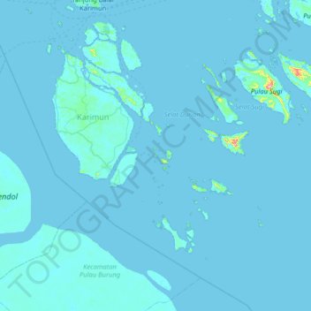
Name: Mangas topographic map, elevation, terrain.
Location: Mangas, Karimun, Kepulauan Riau, Indonesia (0.36549 103.23726 1.00549 103.87726)
Average elevation: 3 m
Minimum elevation: -1 m
Maximum elevation: 265 m
Other topographic maps
Click on a map to view its topography, its elevation and its terrain.