
Matobo National Park topographic map
Interactive map
Click on the map to display elevation.
About this map
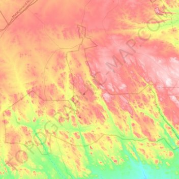
Name: Matobo National Park topographic map, elevation, terrain.
Location: Matobo National Park, Matobo, Matabeleland South, Zimbabwe (-20.62500 28.34035 -20.35389 28.73765)
Average elevation: 1,331 m
Minimum elevation: 1,065 m
Maximum elevation: 1,559 m
Other topographic maps
Click on a map to view its topography, its elevation and its terrain.
Upper Ncema Dam
Upper Ncema Dam, Umzingwane, Matabeleland South, Zimbabwe
Average elevation: 1,154 m
Mzingwane
Mzingwane, Gwanda, Matabeleland South, Zimbabwe
Average elevation: 821 m
Limpopo River
Limpopo River, Beitbridge, Matabeleland South, Zimbabwe
Average elevation: 715 m