
Tutume topographic map
Interactive map
Click on the map to display elevation.
About this map
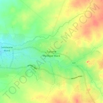
Name: Tutume topographic map, elevation, terrain.
Location: Tutume, Central District, Botswana (-20.52849 26.99682 -20.44849 27.07682)
Average elevation: 1,102 m
Minimum elevation: 1,073 m
Maximum elevation: 1,135 m
Other topographic maps
Click on a map to view its topography, its elevation and its terrain.