
Nata river topographic map
Interactive map
Click on the map to display elevation.
About this map
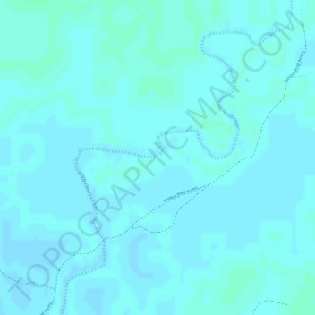
Name: Nata river topographic map, elevation, terrain.
Location: Nata river, Central District, Botswana (-19.85334 26.50271 -19.83270 26.51787)
Average elevation: 940 m
Minimum elevation: 938 m
Maximum elevation: 943 m
Other topographic maps
Click on a map to view its topography, its elevation and its terrain.