
Krembangan topographic map
Interactive map
Click on the map to display elevation.
About this map
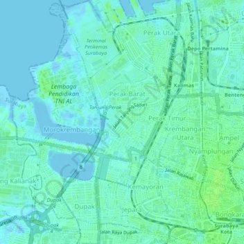
Name: Krembangan topographic map, elevation, terrain.
Location: Krembangan, Surabaya, East Java, Indonesia (-7.24716 112.70634 -7.20660 112.74271)
Average elevation: 4 m
Minimum elevation: -4 m
Maximum elevation: 10 m
Other topographic maps
Click on a map to view its topography, its elevation and its terrain.