
Semampir topographic map
Interactive map
Click on the map to display elevation.
About this map
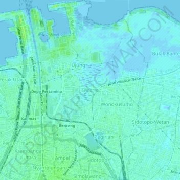
Name: Semampir topographic map, elevation, terrain.
Location: Semampir, Surabaya, East Java, Indonesia (-7.23447 112.73492 -7.19426 112.76205)
Average elevation: 3 m
Minimum elevation: -3 m
Maximum elevation: 11 m
Other topographic maps
Click on a map to view its topography, its elevation and its terrain.
Krembangan
Indonesia > East Java > Surabaya
Krembangan, Surabaya, East Java, Indonesia
Average elevation: 4 m