
Bono topographic map
Interactive map
Click on the map to display elevation.
About this map
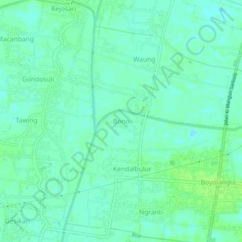
Name: Bono topographic map, elevation, terrain.
Location: Bono, Tulungagung, East Java, 66234, Indonesia (-8.12911 111.85815 -8.08911 111.89815)
Average elevation: 86 m
Minimum elevation: 81 m
Maximum elevation: 92 m
Other topographic maps
Click on a map to view its topography, its elevation and its terrain.
Tulungagung
Indonesia > East Java > Tulungagung
Tulungagung, East Java, Indonesia
Average elevation: 263 m