
De Stommen topographic map
Interactive map
Click on the map to display elevation.
About this map
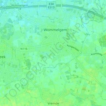
Name: De Stommen topographic map, elevation, terrain.
Location: De Stommen, Wommelgem, Antwerpen, Vlaanderen, 2160, België (51.17428 4.50250 51.21428 4.54250)
Average elevation: 10 m
Minimum elevation: 4 m
Maximum elevation: 16 m
Other topographic maps
Click on a map to view its topography, its elevation and its terrain.