
Beemdkant topographic map
Interactive map
Click on the map to display elevation.
About this map
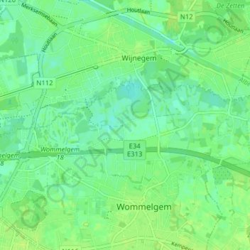
Name: Beemdkant topographic map, elevation, terrain.
Location: Beemdkant, Wommelgem, Antwerpen, Vlaanderen, 2160, België (51.19622 4.49893 51.23622 4.53893)
Average elevation: 7 m
Minimum elevation: 1 m
Maximum elevation: 12 m
Other topographic maps
Click on a map to view its topography, its elevation and its terrain.