
Ituri topographic map
Interactive map
Click on the map to display elevation.
About this map
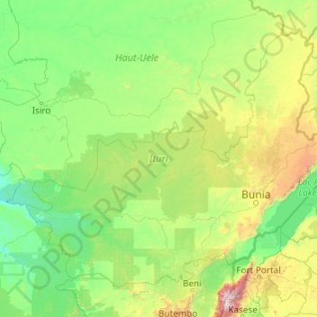
Name: Ituri topographic map, elevation, terrain.
Location: Ituri, DR Congo (0.51962 27.38827 3.68346 31.30568)
Average elevation: 956 m
Minimum elevation: 522 m
Maximum elevation: 4,919 m
Other topographic maps
Click on a map to view its topography, its elevation and its terrain.
Nyotha - Benezeth
DR Congo > Ituri > Nyotha - Benezeth
Nyotha - Benezeth, Ituri, DR Congo
Average elevation: 2,067 m