
Hooghly topographic map
Interactive map
Click on the map to display elevation.
About this map
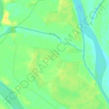
Name: Hooghly topographic map, elevation, terrain.
Location: Hooghly, Murshidabad, West Bengal, 742213, India (24.49483 88.05061 24.51335 88.09110)
Average elevation: 22 m
Minimum elevation: 12 m
Maximum elevation: 33 m
Other topographic maps
Click on a map to view its topography, its elevation and its terrain.
Kangsabati River
Kangsabati River, Sarenga, Bankura, West Bengal, India
Average elevation: 100 m
Bardhaman
India > West Bengal > Bardhaman
Bardhaman, Barddhamān, Purba Bardhaman, West Bengal, 713101, India
Average elevation: 30 m