
Kangsabati River topographic map
Interactive map
Click on the map to display elevation.
About this map
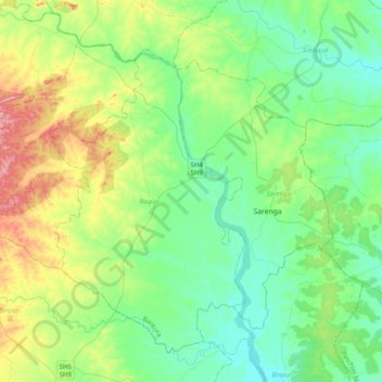
Name: Kangsabati River topographic map, elevation, terrain.
Location: Kangsabati River, Sarenga, Bankura, West Bengal, India (22.59851 86.78859 22.96445 87.01893)
Average elevation: 100 m
Minimum elevation: 48 m
Maximum elevation: 243 m