
Vansittart Island topographic map
Interactive map
Click on the map to display elevation.
About this map
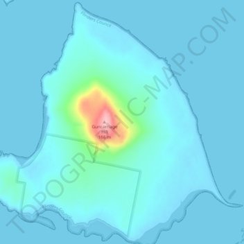
Name: Vansittart Island topographic map, elevation, terrain.
Location: Vansittart Island, Tasmania, Australia (-40.29282 148.27833 -40.25745 148.32580)
Average elevation: 14 m
Minimum elevation: 0 m
Maximum elevation: 166 m
Other topographic maps
Click on a map to view its topography, its elevation and its terrain.