
Zangilan topographic map
Interactive map
Click on the map to display elevation.
About this map
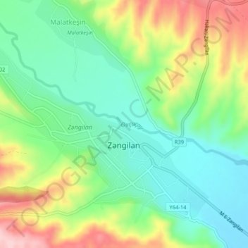
Name: Zangilan topographic map, elevation, terrain.
Location: Zangilan, Zangilan District, East Zangezur, Azerbaijan (39.07705 46.63034 39.10091 46.67017)
Average elevation: 469 m
Minimum elevation: 392 m
Maximum elevation: 602 m