
Northern Rockies topographic map
Interactive map
Click on the map to display elevation.
About this map
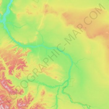
Name: Northern Rockies topographic map, elevation, terrain.
Location: Northern Rockies, British Columbia, Canada (58.48459 -123.51096 59.76459 -122.23096)
Average elevation: 512 m
Minimum elevation: 229 m
Maximum elevation: 1,506 m
Other topographic maps
Click on a map to view its topography, its elevation and its terrain.
Area F (Scotch Creek/Seymour Arm)
Canada > British Columbia > Columbia-Shuswap Regional District
Average elevation: 1,265 m