
Area F (Scotch Creek/Seymour Arm) topographic map
Interactive map
Click on the map to display elevation.
About this map
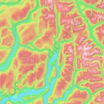
Name: Area F (Scotch Creek/Seymour Arm) topographic map, elevation, terrain.
Average elevation: 1,265 m
Minimum elevation: 337 m
Maximum elevation: 2,866 m