
Slate topographic map
Interactive map
Click on the map to display elevation.
About this map
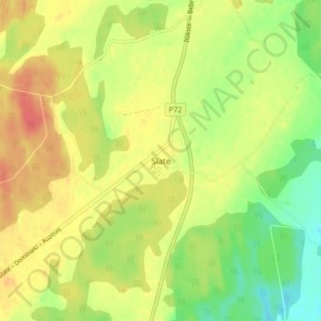
Name: Slate topographic map, elevation, terrain.
Location: Slate, Jēkabpils novads, LV-5229, Latvia (56.17964 25.97641 56.21964 26.01641)
Average elevation: 113 m
Minimum elevation: 87 m
Maximum elevation: 135 m
Other topographic maps
Click on a map to view its topography, its elevation and its terrain.