
Milne Land topographic map
Interactive map
Click on the map to display elevation.
About this map
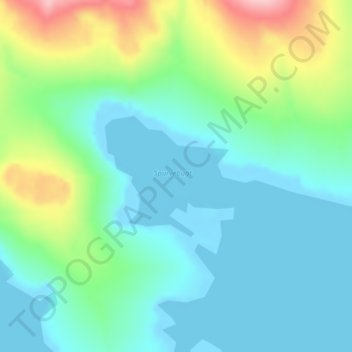
Name: Milne Land topographic map, elevation, terrain.
Location: Milne Land, Sermersooq, Greenland (70.52491 -26.03020 70.53420 -25.99790)
Average elevation: 39 m
Minimum elevation: -3 m
Maximum elevation: 160 m
Other topographic maps
Click on a map to view its topography, its elevation and its terrain.
Jakobshavn Glacier
Jakobshavn Glacier, Avannaata, Greenland
Average elevation: 452 m
Geographical Society Island
Geographical Society Island, Sermersooq, Greenland
Average elevation: 178 m