
Buzi topographic map
Interactive map
Click on the map to display elevation.
About this map
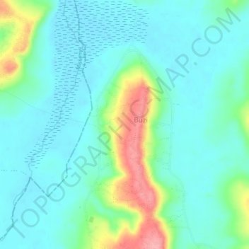
Name: Buzi topographic map, elevation, terrain.
Location: Buzi, Bukoba, Kagera, Lake Zone, Tanzania (-1.16928 31.79787 -1.12928 31.83787)
Average elevation: 1,160 m
Minimum elevation: 1,135 m
Maximum elevation: 1,240 m