
Watergang topographic map
Interactive map
Click on the map to display elevation.
About this map
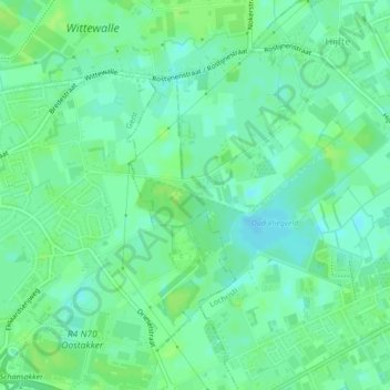
Name: Watergang topographic map, elevation, terrain.
Location: Watergang, Lochristi, Oost-Vlaanderen, Vlaanderen, 9080, België (51.09889 3.78813 51.10138 3.80055)
Average elevation: 6 m
Minimum elevation: -1 m
Maximum elevation: 11 m
Other topographic maps
Click on a map to view its topography, its elevation and its terrain.
Lochristi
België > Vlaanderen > Lochristi
Lochristi, Oost-Vlaanderen, Vlaanderen, 9080, België
Average elevation: 6 m