
Squamish-Lillooet topographic map
Interactive map
Click on the map to display elevation.
About this map
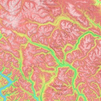
Name: Squamish-Lillooet topographic map, elevation, terrain.
Location: Squamish-Lillooet, British Columbia, Canada (49.84975 -123.62601 51.12975 -122.34601)
Average elevation: 1,545 m
Minimum elevation: 0 m
Maximum elevation: 3,103 m
Other topographic maps
Click on a map to view its topography, its elevation and its terrain.
Area F (Scotch Creek/Seymour Arm)
Canada > British Columbia > Columbia-Shuswap Regional District
Average elevation: 1,265 m