
Djurö topographic map
Interactive map
Click on the map to display elevation.
About this map
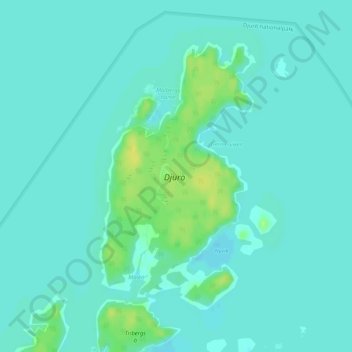
Name: Djurö topographic map, elevation, terrain.
Location: Djurö, Mariestad, Västra Götalands län, Götaland, Zweden (58.85351 13.45910 58.87403 13.48238)
Average elevation: 46 m
Minimum elevation: 41 m
Maximum elevation: 58 m
Other topographic maps
Click on a map to view its topography, its elevation and its terrain.