
Billingen topographic map
Interactive map
Click on the map to display elevation.
About this map
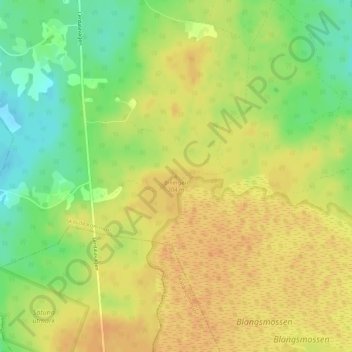
Name: Billingen topographic map, elevation, terrain.
Location: Billingen, Skövde, Västra Götalands län, Götaland, Zweden (58.44330 13.77564 58.44340 13.77574)
Average elevation: 288 m
Minimum elevation: 267 m
Maximum elevation: 301 m
Other topographic maps
Click on a map to view its topography, its elevation and its terrain.