
Mainvault topographic map
Interactive map
Click on the map to display elevation.
About this map
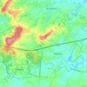
Name: Mainvault topographic map, elevation, terrain.
Location: Mainvault, Aat, Henegouwen, Wallonië, 7812, België (50.63802 3.66947 50.67393 3.75571)
Average elevation: 65 m
Minimum elevation: 33 m
Maximum elevation: 138 m
Other topographic maps
Click on a map to view its topography, its elevation and its terrain.
Arbre
België > Henegouwen > Aat > Aat
Arbre, Aat, Henegouwen, Wallonië, 7811, België
Average elevation: 46 m