
Courrière topographic map
Interactive map
Click on the map to display elevation.
About this map
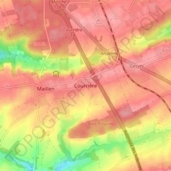
Name: Courrière topographic map, elevation, terrain.
Location: Courrière, Assesse, Namen, Wallonië, 5336, België (50.35830 4.96454 50.39830 5.00454)
Average elevation: 257 m
Minimum elevation: 193 m
Maximum elevation: 286 m
Other topographic maps
Click on a map to view its topography, its elevation and its terrain.