
Te Karaka topographic map
Interactive map
Click on the map to display elevation.
About this map
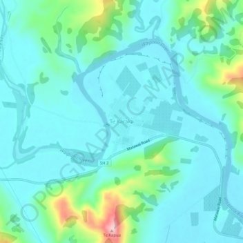
Name: Te Karaka topographic map, elevation, terrain.
Location: Te Karaka, Gisborne, New Zealand (-38.48902 177.84429 -38.44902 177.88429)
Average elevation: 77 m
Minimum elevation: 30 m
Maximum elevation: 294 m
Other topographic maps
Click on a map to view its topography, its elevation and its terrain.
Gisborne
New Zealand > Gisborne > Gisborne District
Gisborne, Gisborne District, Gisborne, 4010, New Zealand
Average elevation: 70 m
Waingake
New Zealand > Gisborne > Gisborne District
Waingake, Gisborne District, Gisborne, New Zealand
Average elevation: 166 m
Gisborne District
Gisborne District, Gisborne, New Zealand
Average elevation: 228 m
Titirangi
New Zealand > Gisborne > Gisborne
Titirangi, Gisborne, 4020, New Zealand
Average elevation: 19 m
Whangaparāoa River
New Zealand > Gisborne > Ōpōtiki District
Whangaparāoa River, Ōpōtiki District, Gisborne, New Zealand
Average elevation: 191 m
Te Puia Springs
Te Puia Springs, Gisborne, 4079, New Zealand
Average elevation: 237 m