
Tengwe topographic map
Interactive map
Click on the map to display elevation.
About this map
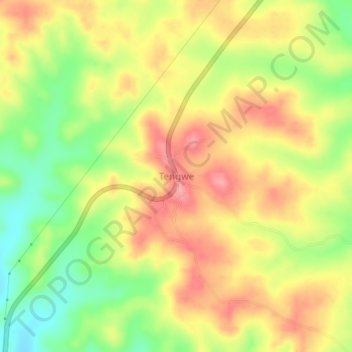
Name: Tengwe topographic map, elevation, terrain.
Location: Tengwe, Handeni, Tanga, Northern Zone, Tanzania (-5.88761 38.24548 -5.84761 38.28548)
Average elevation: 432 m
Minimum elevation: 377 m
Maximum elevation: 476 m