
Jururejo topographic map
Interactive map
Click on the map to display elevation.
About this map
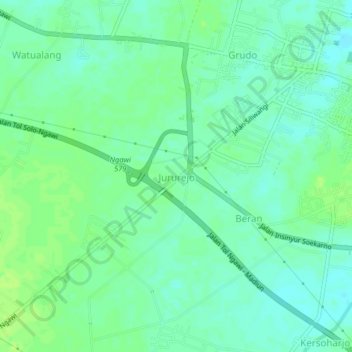
Name: Jururejo topographic map, elevation, terrain.
Location: Jururejo, Jawa Timur, 63214, Indonesia (-7.43884 111.39679 -7.39884 111.43679)
Average elevation: 48 m
Minimum elevation: 41 m
Maximum elevation: 54 m
Other topographic maps
Click on a map to view its topography, its elevation and its terrain.