
Helheim Glacier topographic map
Interactive map
Click on the map to display elevation.
About this map
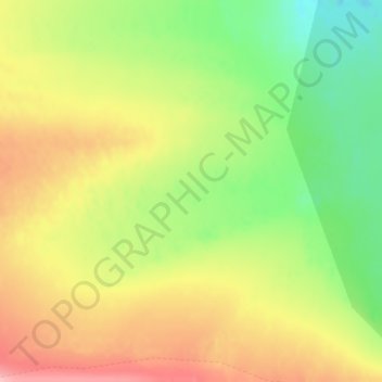
Name: Helheim Glacier topographic map, elevation, terrain.
Location: Helheim Glacier, Sermersooq, Greenland (66.34995 -38.20005 66.35005 -38.19995)
Average elevation: 147 m
Minimum elevation: 85 m
Maximum elevation: 215 m
Other topographic maps
Click on a map to view its topography, its elevation and its terrain.
Jakobshavn Glacier
Jakobshavn Glacier, Avannaata, Greenland
Average elevation: 452 m
Geographical Society Island
Geographical Society Island, Sermersooq, Greenland
Average elevation: 178 m