
Shahrak topographic map
Interactive map
Click on the map to display elevation.
About this map
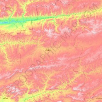
Name: Shahrak topographic map, elevation, terrain.
Location: Shahrak, Ghor, Afghanistan (33.65396 63.97116 34.52974 64.70121)
Average elevation: 2,604 m
Minimum elevation: 1,553 m
Maximum elevation: 3,510 m
Other topographic maps
Click on a map to view its topography, its elevation and its terrain.