
Ghor topographic map
Interactive map
Click on the map to display elevation.
About this map
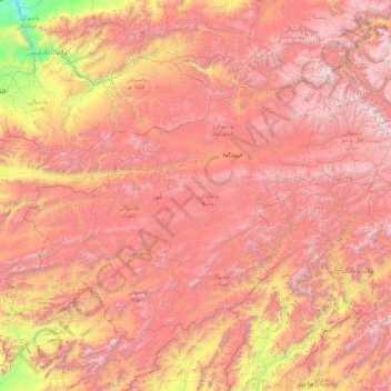
Name: Ghor topographic map, elevation, terrain.
Location: Ghor, Afghanistan (33.12067 63.20003 35.27986 66.72826)
Average elevation: 2,385 m
Minimum elevation: 499 m
Maximum elevation: 4,363 m
Other topographic maps
Click on a map to view its topography, its elevation and its terrain.