
Odisha topographic map
Interactive map
Click on the map to display elevation.
About this map
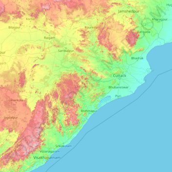
Name: Odisha topographic map, elevation, terrain.
Location: Odisha, India (17.80278 81.38462 22.56351 87.50770)
Average elevation: 227 m
Minimum elevation: -1 m
Maximum elevation: 1,516 m
Other topographic maps
Click on a map to view its topography, its elevation and its terrain.