
Bant topographic map
Interactive map
Click on the map to display elevation.
About this map
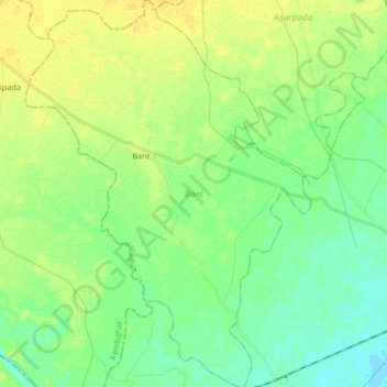
Name: Bant topographic map, elevation, terrain.
Location: Bant, Bhadrak, Odisha, India (21.02583 86.27220 21.17985 86.41713)
Average elevation: 27 m
Minimum elevation: 17 m
Maximum elevation: 37 m