
Sava topographic map
Interactive map
Click on the map to display elevation.
About this map
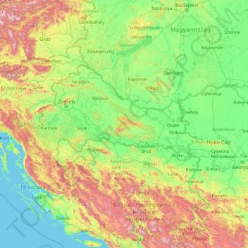
Name: Sava topographic map, elevation, terrain.
Location: Sava, Općina Davor, Brod-Posavina County, 35435, Croatia (44.62945 14.15533 46.34460 20.45164)
Average elevation: 370 m
Minimum elevation: -4 m
Maximum elevation: 2,412 m
Other topographic maps
Click on a map to view its topography, its elevation and its terrain.