
Rusizi topographic map
Interactive map
Click on the map to display elevation.
About this map
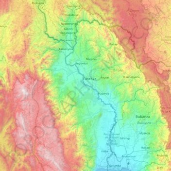
Name: Rusizi topographic map, elevation, terrain.
Location: Rusizi, Cibitoke, 331, Burundi (-3.36205 28.86177 -2.49069 29.28084)
Average elevation: 1,752 m
Minimum elevation: 766 m
Maximum elevation: 3,460 m
Other topographic maps
Click on a map to view its topography, its elevation and its terrain.