
Nyamagana topographic map
Interactive map
Click on the map to display elevation.
About this map
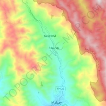
Name: Nyamagana topographic map, elevation, terrain.
Location: Nyamagana, Cibitoke, Burundi (-2.71804 29.22119 -2.64655 29.24956)
Average elevation: 1,857 m
Minimum elevation: 1,399 m
Maximum elevation: 2,403 m