
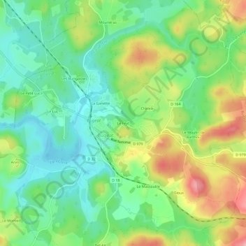
Le Feyt topographic map
Interactive map
Click on the map to display elevation.
About this map
Name: Le Feyt topographic map, elevation, terrain.
Average elevation: 716 m
Minimum elevation: 664 m
Maximum elevation: 802 m
Other topographic maps
Click on a map to view its topography, its elevation and its terrain.
La Ganette
France > Nouvelle-Aquitaine > Corrèze > Bugeat
La Ganette, Bugeat, Ussel, Corrèze, Nouvelle-Aquitaine, France métropolitaine, 19170, France
Average elevation: 711 m
Le Massoutre
France > Nouvelle-Aquitaine > Corrèze > Bugeat > Le Massoutre
Le Massoutre, Bugeat, Ussel, Corrèze, Nouvelle-Aquitaine, France métropolitaine, 19170, France
Average elevation: 735 m