
Dagda topographic map
Interactive map
Click on the map to display elevation.
About this map
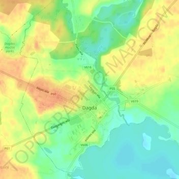
Name: Dagda topographic map, elevation, terrain.
Location: Dagda, Krāslavas novads, Latgale, Latvia (56.08502 27.51857 56.11015 27.54814)
Average elevation: 174 m
Minimum elevation: 153 m
Maximum elevation: 193 m