
Oosterzele topographic map
Interactive map
Click on the map to display elevation.
About this map
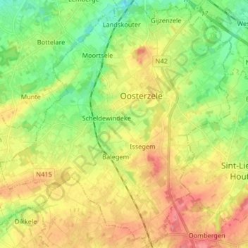
Name: Oosterzele topographic map, elevation, terrain.
Location: Oosterzele, Oost-Vlaanderen, Vlaanderen, 9860, België (50.89475 3.72816 50.97766 3.85114)
Average elevation: 41 m
Minimum elevation: 5 m
Maximum elevation: 83 m