
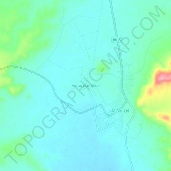
Vieux M'doukel topographic map
Interactive map
Click on the map to display elevation.
About this map
Name: Vieux M'doukel topographic map, elevation, terrain.
Location: Vieux M'doukel, M'Doukel, Daïra Barika, Batna, Algérie (35.10753 5.15219 35.14753 5.19219)
Average elevation: 421 m
Minimum elevation: 397 m
Maximum elevation: 528 m