
Rodgau topographic map
Interactive map
Click on the map to display elevation.
About this map
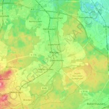
Name: Rodgau topographic map, elevation, terrain.
Location: Rodgau, Landkreis Offenbach, Hessen, 63110, Duitsland (49.95944 8.81879 50.07260 8.94465)
Average elevation: 132 m
Minimum elevation: 100 m
Maximum elevation: 181 m