
Lamas topographic map
Interactive map
Click on the map to display elevation.
About this map
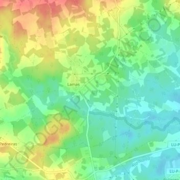
Name: Lamas topographic map, elevation, terrain.
Location: Lamas, Friol, Lugo, Galice, Espagne (43.03853 -7.81196 43.05694 -7.77337)
Average elevation: 481 m
Minimum elevation: 456 m
Maximum elevation: 515 m
Other topographic maps
Click on a map to view its topography, its elevation and its terrain.