
Schmannewitz topographic map
Interactive map
Click on the map to display elevation.
About this map
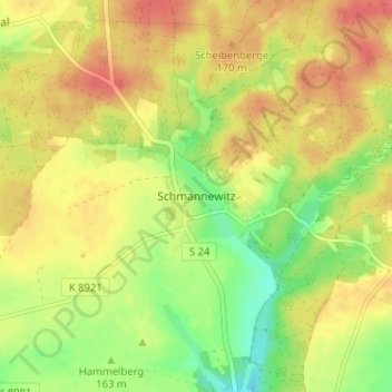
Name: Schmannewitz topographic map, elevation, terrain.
Location: Schmannewitz, Dahlen, Nordsachsen, Sachsen, 04774, Deutschland (51.37804 12.96644 51.41804 13.00644)
Average elevation: 168 m
Minimum elevation: 135 m
Maximum elevation: 194 m